Case Studies
>Safe Search

Our main challenges while working on this web application were

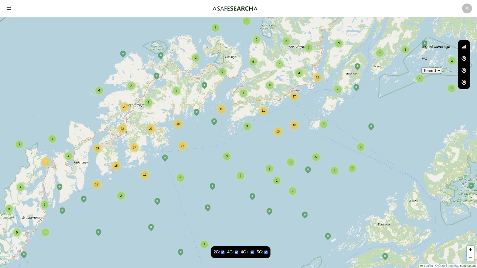
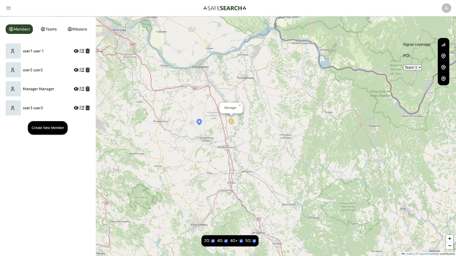
Integrating mapping libraries like Leaflet.js or Mapbox GL JS to display topographic information, satellite imagery, and points of incidents can be challenging.
Displaying real-time weather information and GPS tracking updates requires efficient handling of data updates and rendering in React.
Rendering large amounts of data such as high-resolution satellite imagery or GPS tracking data can impact the performance of your React application.
Real-time communication features for search and rescue teams can be complex, including features like chat, notifications, and data sharing.
Ensure that sensitive data such as GPS tracking information is transmitted securely and accessible only to authorized users.
Ensuring your React application works correctly across different browsers and devices can be challenging.

The solutions we used while improving this web application were
Specifically designed for these mapping libraries, such as react-leaflet for Leaflet.js or react-map-gl for Mapbox GL JS. These libraries provide React components that make it easier to work with maps in a React application.
Manage real-time data updates efficiently. For real-time updates, consider integrating WebSocket or server-sent events (SSE) to push updates from the server to the client in real time.
Like data pagination, lazy loading, and memoization to optimize performance. Use libraries like React Virtualized or React Window for efficient rendering of large datasets. Additionally, consider using Web Workers for offloading heavy computations from the main UI thread.

The European Union-funded mobile app designed for search and rescue operations successfully integrated multiple information layers, including topographic data, satellite imagery, real-time weather updates, GPS tracking, and communication features. These functionalities significantly enhanced the efficiency and effectiveness of search and rescue teams in the field.
The app's incorporation of real-time GPS tracking enabled teams to coordinate their movements more effectively, ensuring comprehensive coverage of search areas while enhancing safety. This capability allowed for more precise navigation to key locations, such as hospitals and shelters, thereby improving response times in emergencies.
By providing high-resolution satellite imagery and up-to-date weather information, the app empowered rescue teams to make informed decisions quickly. Teams could assess terrain challenges, track environmental changes, and adapt their strategies to changing weather conditions, ultimately leading to better outcomes in rescue operations.
Streamlined Communication The implementation of real-time communication features, such as chat and notifications, facilitated seamless collaboration among team members and central command. This improved information sharing ensured that all personnel remained updated on critical developments during operations, enhancing overall coordination.

Conclusion
The European Union-funded mobile app transformed search and rescue operations by integrating real-time GPS tracking, topographic and satellite data, and weather updates, enabling precise coordination and faster responses. High-resolution imagery and live weather data allowed teams to make informed decisions, while real-time communication features enhanced team collaboration. Performance optimizations ensured smooth access to critical data, and cross-browser compatibility made the app reliable across devices. This app now serves as a robust, field-ready tool that empowers search and rescue teams for more effective missions.
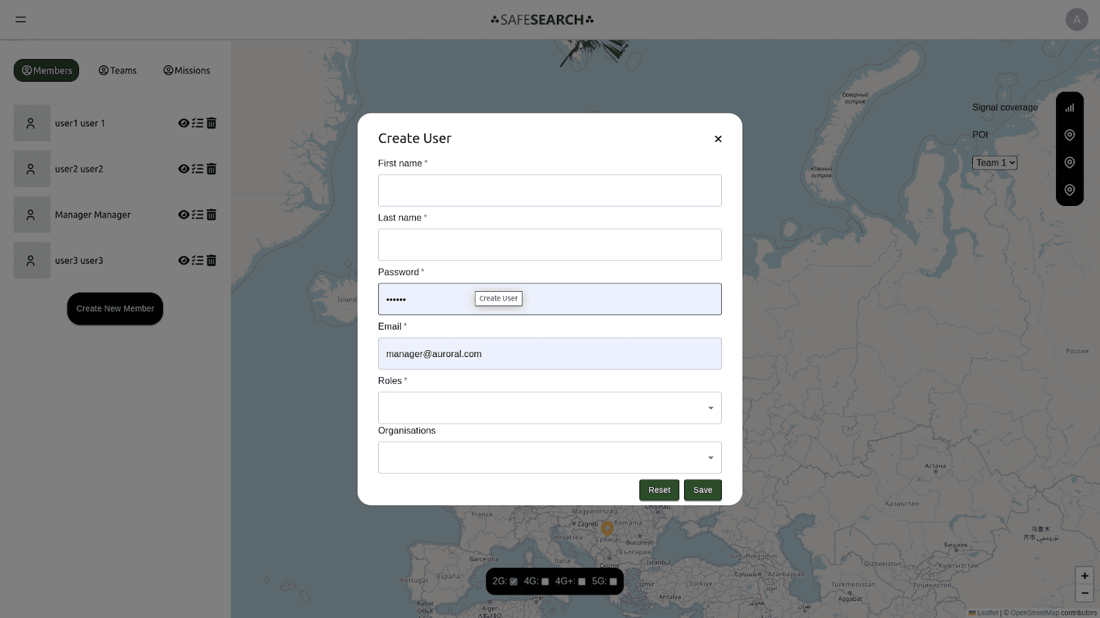

Real-time communication between team members and central command. Implement features like chat rooms, push notifications, and file sharing using libraries like Socket.IO
Thoroughly on various browsers and devices using tools like BrowserStack or Sauce Labs. Use polyfills and feature detection libraries like Modernizr to handle cross-browser compatibility issues gracefully.
Robust Performance Optimization The challenges of rendering large datasets and high-resolution imagery were addressed through techniques like lazy loading and data pagination. These optimizations resulted in a smooth user experience, enabling teams to access essential information without delays.
Cross-Browser Compatibility The app's successful testing across various browsers and devices ensured that search and rescue teams could rely on the platform regardless of their technology, further enhancing its usability in the field.


